出版社: 科学
原售价: 328.00
折扣价: 259.20
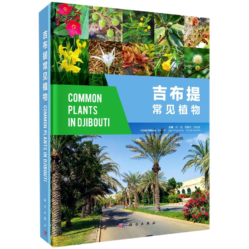
折扣购买: 吉布提常见植物(精)
ISBN: 9787030704658
第1章 吉布提及其植物概况
Chapter 1 Overview of Djibouti and Its Plants
吉布提共和国简称吉布提(索马里语名:Jabuuti;法语名:République de Djibouti;阿拉伯语名;英语名: Republic of Djibouti),首都为吉布提市。吉布提曾是法国殖民地,于 1977年独立。位于非洲东北部、亚丁湾西岸(10°N. 13°N,41°E. 43°E),处于红海进入印度洋的咽喉处。全国国土总面积 23 200 km2,划分为吉布提市、阿尔塔、塔朱拉、奥博克、阿里萨比耶和迪基勒 6个部分(图 1)。人口约 100万,国民绝大部分信奉伊斯兰教,少部分信奉基督教。吉布提工农业基础薄弱,是最不发达国家之一。目前其境内有美国、法国、日本和中国等国的海外军事基地。吉布提自然资源贫乏,矿产资源主要有石膏、云母、紫水晶、硫磺和盐矿。当地淡水资源缺乏,生活用水主要引自埃塞俄比亚。吉布提的农业主要有畜牧业、渔业及少量种植业;种植业因缺淡水而产量低,除了生产番茄等少量蔬菜外,粮食和果蔬主要依赖进口。吉布提面临的主要环境问题包括:因农业和薪柴收集导致的毁林和荒漠化,因盐碱化导致的水污染以及生物多样性保护乏力。吉布提仅有一个面积约 100 km2的国家公园 Foret du Day,但有效管理不够。在气候变化情景下,许多珍稀濒危植物及自然保护区面临着严重的威胁。
图1 吉布提共和国土地利用图
吉布提地形复杂,内陆以高原和山地为主,沿海多为平原和高原。国土主要为火山岩物质的高原山地(海拔为 500. 800 m),也有少部分为沙漠。地表火山石多,土壤以粗砂粒为主,盐碱度高,贫瘠,保水保肥能力弱。其全国大部分地区及沿海地区均属热带沙漠气候,内陆属热带草原气候。每年 4. 10月为热季,平均气温约 37℃,最高气温达 45℃以上; 11月至次年 3月为凉季,平均气温 27℃,最低气温低于 23℃。年平均降雨量为 150 mm左右,降雨量年变化大,地区间差别也很大,内陆几乎无降雨。
吉布提 90%以上国土为荒漠,植被稀少,仅北部山区有约占国土面积 1%的森林(1992年底,质量较好的郁闭森林面积约 2000 hm2)和沿海红树林约 300 hm2,另有 68 000 hm2开阔的灌木林。主要植被类型是由适应干热气候的带刺灌木、棕榈科植物和禾本科等草本植物组成的典型荒漠和半荒漠植被。荒漠植被中的植物种类稀少,多为具旱生功能性状的草本植物和金合欢属(Vachellia spp.)植物。除沿红海海岸的东部地带属于厄立特里亚沿海沙漠的一部分外,吉布提植被绝大部分属于全北区的埃塞俄比亚旱生草原和灌丛生态区(Ethiopia xeric grasslands and shrublands ecoregion),另有少部分属于厄立特里亚海岸带荒漠生态区(Eritrean coastal desert ecoregion),在生物多样性评估中被列入了非洲角生物多样性热点。
吉布提的植物学研究较少,从 Elsevier Science Direct、Springer Link和 Wiley三个数据库中检索到的涉及吉布提植物研究的英文和法文论文及专著章节不到 10篇(Ahmed and Coquet, 2018; Audru et al., 1987; Bansal, 2011; Daher et al., 2015; Emerton, 1998; Hassan-Abdallah et al., 2013; Kelbessa, 2013; McCoy, 2007; Paxton, 1985),且主要为国外学者的研究。经检索国际各类植物数据库,吉布提全国约有 820种植物(仅北部 Goda和 Mabla山区就有 534种,约占全国的 60%),常见植物约 120种。吉布提野外最常见的乔木有阿拉伯金合欢(Vachellia nilotica)和扭荚金合欢(V. tortilis)等。研究发现,该国塔朱拉地区的 Randa有 91种药用植物(隶属 40科 72属,其中 92%是野生植物,豆科植物有 17种),这些植物可治疗眼、口、肾病和微生物感染。吉布提的珍稀濒危和特有植物种类有血竭(Dracaena ombet)、索马利兰蒲葵(Livistona carinensis)(Shapcott et al., 2009)、吉布提芦荟(Aloe djiboutiensis)、埃里卡芦荟(A. ericahenriettae)、哥达大戟(Euphorbia godana)、E. amicorum、Phagnalon lavranosii、Cynoglossopsis somaliensis、 Caralluma mireillae、Polygala goudahensis及Matthiola puntensis。
由于经济较落后,对环境和畜牧业相关问题不重视,偶尔的内乱和零星的饥荒,科技水平低和人员能力不足,当地一直存在砍伐植物和对自然植被生态系统的人为干扰,导致一些原生植被消失或乡土种的幼苗不能生长,进而导致一些入侵植物的扩张,包括牧豆树(Prosopis juli.ora)、银胶菊(Parthenium hysterophorus)、橡胶紫茉莉(又名桉叶藤,Cryptostegia grandi.ora)。这些入侵植物取代了原生草地和森林,通过影响乡土植物的多度、分布和生态功能而降低其区域生物多样性。人为干扰和入侵植物导致了正常时期或食品短缺时期当地居民可用作食物和药材的有用植物的快速消失,多用途植物被单一的外来植物替代也导致了药用植物和可食用植物相关的乡土知识的消失。
吉布提市是全国最大的城市,全市人口约 62万。吉布提市是全国的政治、经济和文化中心,也是东非最大的海港之一(图 2)。吉布提市属热带沙漠气候,全年炎热少雨;年平均气温约 29.4℃,热季气温 32. 41℃,凉季气温 23. 29℃,年平均降雨量少于 150 mm。吉布提市的自然土壤呈碱性,盐分含量较高(轻到中度盐化),肥力差,含水量低(表 1)。吉布提市的植被(含红树林)主要分布在吉布提港及其周边地区,其余区域为石质荒漠植被。从卫星遥感图可看出,全市缺乏绿地系统的整体规划,整体景观不佳。部分老城区、政府集中办公区及富人聚集区的绿地覆盖率较高且景观较好,许多种植的植物已长大并形成植被景观,但大部分区域绿地覆盖率低,若有也极稀疏。该市缺乏绿地规划、物种选育、规模化繁殖、种类搭配及种植养护技术,苗圃主要由埃塞俄比亚人开设,当地缺少有经验的园林绿化专业技术人员,非常缺乏植物繁育、种植及养护方面经验,更没有先进的自动化园林设备或设施。
图2 吉布提市土地利用图
表1 吉布提市三种土地利用类型土壤的化学性质
The Republic of Djibouti is abbreviated as Djibouti (Somali name: Jabuuti; French name: République de Djibouti; Arabic name: ; English name: Republic of Djibouti), with the capital of Djibouti City. It was colonized by France and became independent in 1977. It is bounded by Eritrea in the north, Ethiopia in the west and south, Somalia in the south, and located on the west coast of the Gulf of Aden (10°N-13°N, 41°E-43°E) in northeast Africa, a strategic location at the southern entrance to the Indian Ocean from the Red Sea. The total area of Djibouti is 23,200 km2, which is divided into six regions, namely Djibouti City, Arta, Tadjoura, Obock, Ali Sabieh, and Dikhil (Figure 1). With a population of about 1 million, most people are followers of Islam and a few are are followers of Christianity. The population is about 60% Somali (of which the Issa constitutes about 40%) and 35% Afar of Ethiopian origin. Two thirds of the population live in the capital city, and the rest are nomadic herders. Of.cial languages are French and Arabic, and both Somali and Afar are widely spoken as well. There are military bases of the United States, France, Japan and China. Djibouti is a least developed country with weak industrial and agricultural productions. Its natural resources are limited, and the main mineral resources include gypsum, mica, amethyst, sulfur and salt mines. Local fresh water resources are scarce, and domestic water mainly comes from Ethiopia. Djibouti’s agriculture mainly includes animal husbandry, .shery and a small amount of plantation. It can produce a limited amount of vegetables such as tomatoes, its food, fruits and vegetables mainly depend on imports. The main environmental problems faced by Djibouti include deforestation and desertification caused by agriculture and .rewood collection, water pollution caused by salinization, and lack of biodiversity protection. Djibouti has only one National Park named Foret du Day, with an area of about 100 km2, but the management is not effective. In the context of climate change, many rare and endangered plants and nature reser